Ten years ago today we launched our second app – ‘Coverage?‘.
Ten years in the App Store. Wow!
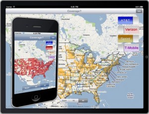
‘Coverage?’ was launched way back in the era of 3G and sparse coverage maps that were more dead zone than not in many parts of the country.
Having the ability to carry your own personalized coverage maps in your pocket was a genuinely useful tool for so many of us out there seeking ways to live, work, and keep connected on the road.
We wrote the app for our own technomadic needs, after all.
The past decade has flown by, technology has evolved, and somehow ‘Coverage?’ has managed to continue to be kept updated, relevant, and worthwhile throughout the years.
A quick video celebrating the occasion:
As we celebrate our 10-years in the App Store, we’re thrilled to announce three major new features that have launched in ‘Coverage?’ in 2020:
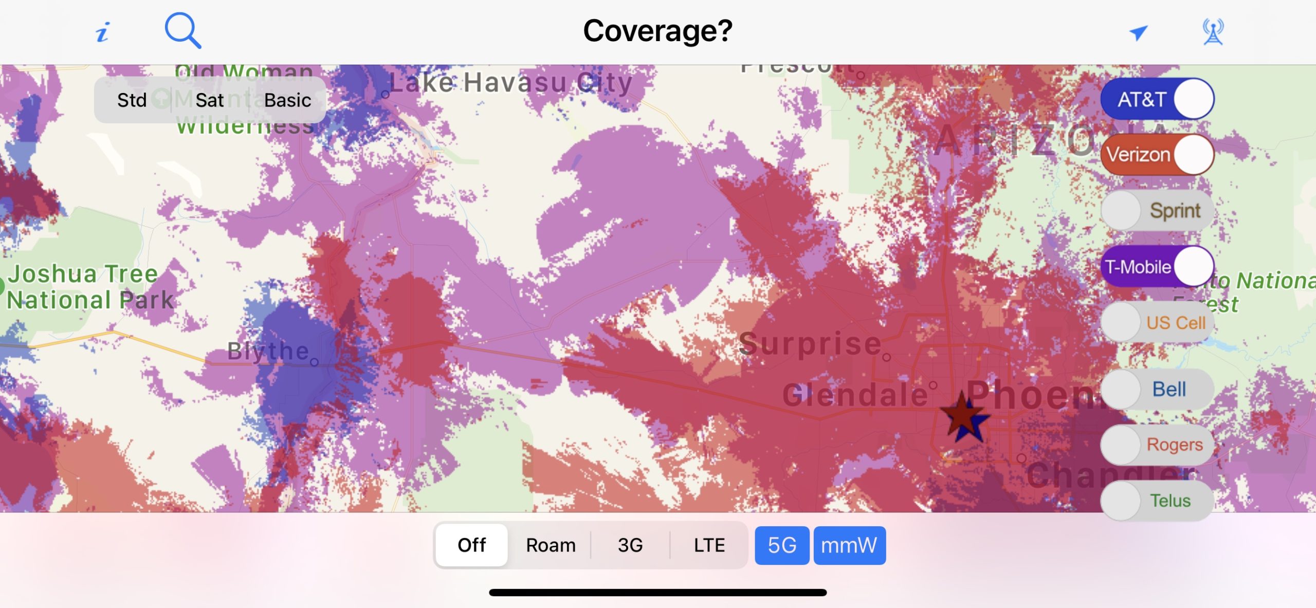
- 5G Coverage Maps – Including both nationwide 5G and mmWave layers from AT&T, Verizon, T-Mobile, and US Cellular.
- Canadian Maps – We now have LTE maps for the top Canadian carriers – Bell, Telus and Rogers.
- US Cellular – We now have maps for the five largest US carriers – AT&T, Verizon, T-Mobile, Sprint, and now US Cellular as well.
The latest major update of ‘Coverage?’ came out last week – bringing 5G maps for the first time, setting the stage for another decade in the App Store.
I guess ‘Coverage?’ is here for the long haul…
How ‘Coverage?’ Came To Be
Way back in 2010 we were fledgling app developers dabbling in this new field as a side hobby. We had launched our first very simple app “State Lines” in spring of 2010, and helped another major app launch at the 2009 MacWorld.
To dive deeper into iOS development, we made plans to attend the iOS DevCamp event – a hackathon weekend spent with other iOS developers with the goal of prototyping an app. It was happening that August in Silicon Valley.
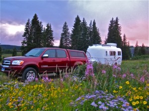
On our way across country to attend, we found an absolutely perfect campsite deep in the heart of Colorado: secluded, beautiful, and with rocking fast bandwidth (by 2010 standards).
We pre-paid for our campsite, and settled in for a few days catching up on work projects in paradise.
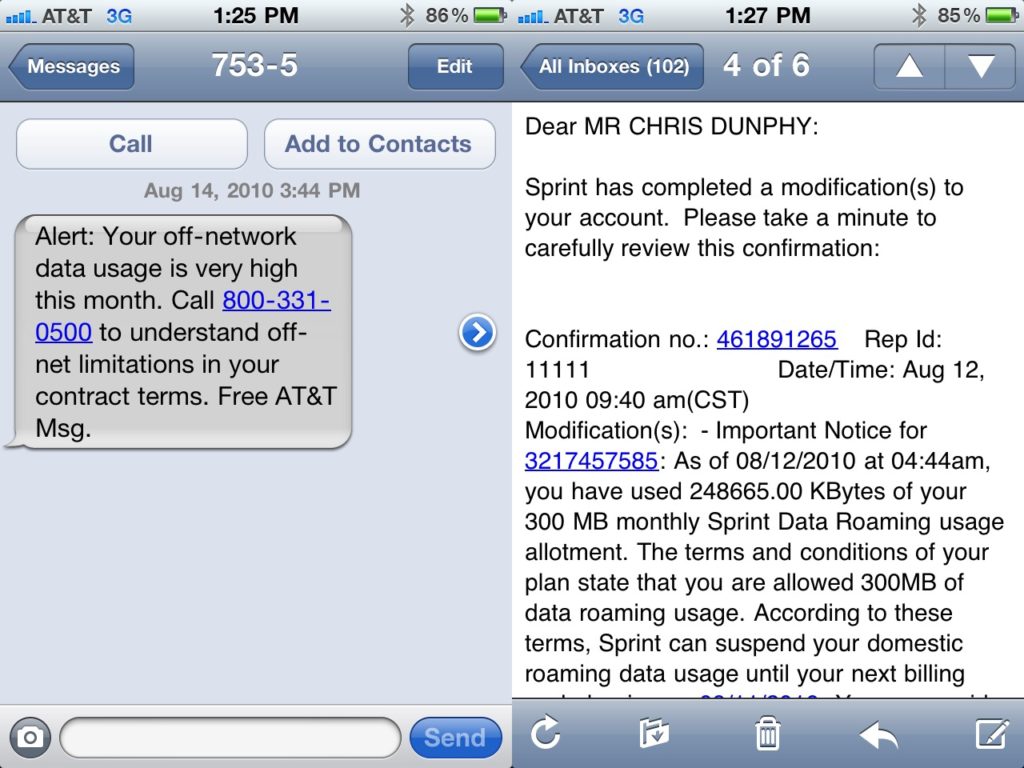
Until after just a few hours Sprint cut off our primary data plan for “excessive roaming”. And an hour later, AT&T did the same to our secondary plans.
We were offline, and angry! There was no way we’d be able to catch up on work from here.
If only there was an app that might have let us know we were in a roaming area. And since we had no way online now, where to head to get back online.
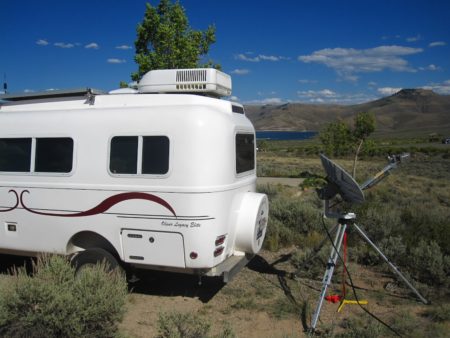
And thus the idea of ‘Coverage?’ was born – and we spent the rest of our trip across country discussing what it would take to build. Well aside from sourcing a used satellite dish to purchase along the way, just in case we couldn’t solve this problem.
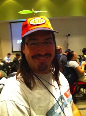
At the iOS DevCamp we managed to crank out a prototype of ‘Coverage?’ during the hackathon weekend, pulling two all-nighter to win recognition as the “most useful” app developed at the camp.
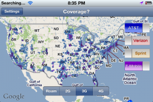
Screencaps from our original prototype – all of the maps were hand drawn to show proof of concept:
Taking that prototype and turning it into a fully functional app took some concerted effort over the following months, and doing so really pushed our skills not only as developers – but as cartographers too since we had to write tools to essentially build our own maps from scratch.
But in the end – amazingly – it worked.
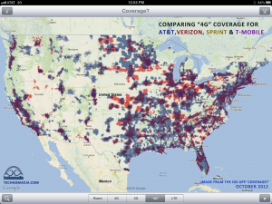
We intended ‘Coverage?’ to be a simple tool for other nomads like us to better plan their travels around good cellular coverage… especially when they had no signal.
But ‘Coverage?’ came out just before the launch of the first Verizon iPhone and the dawn of the 4G/LTE era – and as the carriers raced to deploy 4G our app was at the time the only way to easily overlay and compare the coverage maps from the different carriers.
‘Coverage?’ ended up featured in all sorts of “essential app” lists, was covered by several major mainstream sites, and was even featured in Wired magazine.
But since the maps were constantly changing – keeping up with ‘Coverage?’ was a perpetual headache.
Especially for an app that was introduced before there was an option for in-app purchases and subscription models, the work that went into providing lifetime free map updates (not to mention keeping up with constant iOS updates) in return for a single one-time purchase just wasn’t a sustainable business model.
A few years ago, we were on the verge of throwing in the towel and retiring the app, as our workload at the Mobile Internet Resource Center was consuming all of our time (hmm.. and still seems to). But instead we sought partners to help.
Coverage Becomes a Team Effort
First, we established a mapping partnership with Mosaik Solutions (which is now owned by Ookla, the SpeedTest.net folks) — they have a team of legitimate digital cartographers who work full time creating coverage maps for enterprise clients. Outsourcing our mapping work vastly reduced (but not eliminated) the workload to get out regular updates.
And then we stepped back from the day-to-day development work, and our development partner for our other apps (and fellow full-time RVer) Robert Lee of Hired Gun Technology took on the challenge of not only creating an Android version, but taking over the internals of the iOS version as well.
We re-launched ‘Coverage?’ in April 2017 – and we were able to keep the “free updates for life promise” by continuing to deliver the original resolution maps a couple times a year.
For more serious ‘Coverage?’ app users, we also introduced the option to subscribe to more frequently updated higher resolution maps – which in the new 5G version also gains access to mmWave city indicators.
As long as enough annual subscribers keep signing on to support the project, we hope to keep ‘Coverage?’ around long into the 5G future.
Coverage? Into the Future
Coverage? has come a long way since our little prototype and initial launch. So much has changed in the cellular industry since then. And so much in the nomadic community too.
Today there are even more resources for helping plan your travels around connectivity – such as crowdsourced coverage apps like Rootmetrics and Open Signal, and campground & marina review sites where other patrons leave report of internet connections.
We personally use all three approaches when planning our travels to make sure we’ll be able to get online with our arsenal of solutions. After all, if not many have reported on coverage at a location – you still have to take a best guess based on what your carrier claims.
Thank you to everyone who has supported this app throughout the years – your support, positive reviews, and great word of mouth is what has made all of this ongoing development possible.
So, got Coverage?




What a great story and video! I wasn’t familiar with the origin of Technomadia, but like everything you two create, it was serendipitous! Thanks for everything…and Happy Holidays! 🙂
Thanks 🙂 Technomadia (our personal travel blog) actually existed many years before we created this app. 🙂
I can’t imagine the work that went into this but it’s a great app! You guys deserve all the praise and accolades that come your way.
Coverage was the app I used more than any other during the six years I was RVing. I loved knowing where I could continue to be online as I traveled. Thanks for doing all that work for us.